

More Like This
\Envision a map from the Opium War era, rendered with sepia tones and a weathered texture, portraying the strategic locations crucial during that tumultuous time. Highlighting region isHong Kong Island, and the surrounding waterways where significant naval engagements occurred. Annotations depict the sites of key events, the movements of fleets, and the territories in dispute, capturing the geopolitical tensions and conflicts of the Opium War period.\


1 of 2


map of the island of Hong Kong, showcasing british dominance over the strategic location.


1 of 2
TREATY OF NANKING signed on a British warship in the Nanjing Harbor, marked the end of the First Opium War and set the stage for significant changes in the Sino-British relationship


1 of 2
In a bustling port, British officers confront Chinese authorities amidst a heated dispute over the 'Arrow', while dockworkers pause their labor, capturing the tension and confrontation surrounding the contested seizure in hyper-realistic detail. british \u0026 chinese army officials to be seen in the photo , ancient period ,1859 is the year


1 of 2


The British claimed that the ship was involved in smuggling activities, but the Chinese authorities denied this. The disagreement escalated rapidly, with neither side willing to back down. Tensions were already simmering, and this incident was the boiling point.


1 of 2


a detailed colorful map of a group of islands that look together like a fingerprint


1 of 2
a detailed colorful map of a group of islands that look together like a fingerprint


1 of 2


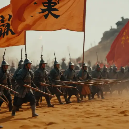
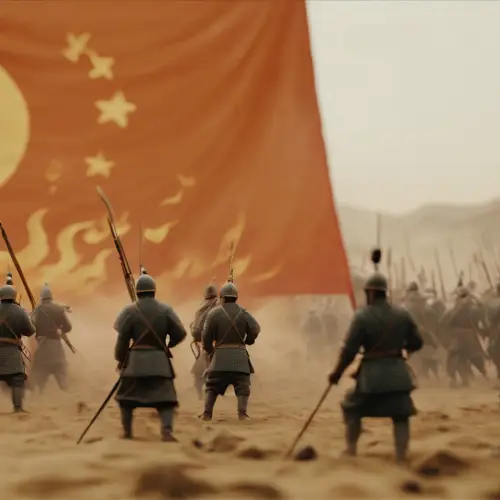
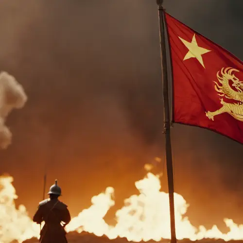
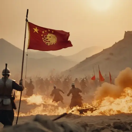
Orange background, ancient China. On the left side of the background board, a battlefield can be depicted, filled with flames of war and smoke. Presenting intense war scenes. The military flag flutters in the distance, enhancing visual impact.
1 of 2
Orange background, ancient China. On the left side of the background board, a battlefield can be depicted, filled with flames of war and smoke. Presenting intense war scenes. The military flag flutters in the distance, enhancing visual impact.
1 of 2
map icon,countertop with a map of China and Taiwan and Hongkong and Macao, 2.5d, blue and purple frosted glass, white acrylic material, white background, transparent technical sense, data visualization style, isometric view, Glassmorphism, Blender, Oc renderer, detail 8K


1 of 2


The image portrays a striking contrast between the two sides involved in the signing of the Treaty of Nanking. In the foreground, there's a grand table or podium where representatives from both the Chinese and British sides sit or stand, positioned across from each other. On the left side of the image, the Chinese delegation is depicted in traditional attire, showcasing their cultural heritage. They appear troubled, outnumbered, and uneasy, reflecting their forced participation in the negotiation. Conversely, on the right side, the British delegation exudes confidence and power. They're dressed in formal, military-inspired attire, representing the imposing force of the British Empire. Their posture and demeanor display a sense of authority and dominance. The scene takes place in a grand room or open space, perhaps on a British ship or in a significant location in Nanjing. The backdrop could include symbols of trade or conflict, emphasizing the economic and political implications of the unequal terms of the treaty. The imbalance in body language, attire, and expressions between the two sides underscores the unequal nature of the negotiations.


1 of 2