


a ancient map drawn on brown parchment, half the map is slums and half is royal castle,points of interest on map,pink sand, black smoke


1 of 2


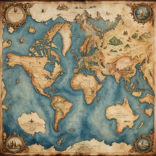
Top view an old map of the world on aging paper placed on a luxourious mohagany table. An intricate mechanical compass placed on top corner of the map. Hyperrealistic, warm lighting, map caligraphy, 8k


1 of 2
18th century map with several villages, rivers of trees, names of cities, composition on a sphere, like a black and white engraving, white background


1 of 2


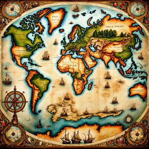
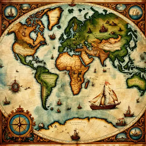
old oil painting of a creative old map world,detailed,masterpiece
1 of 2
old oil painting of a creative old map world,detailed,masterpiece
1 of 2
a ancient map on light brown parchment a solid gold gothic Victorian city with a clock tower in the middle,black and gold ink


1 of 2


A map of Roanoke Island hand-drawn over 500 years ago, aged and worn. Illustrate explorers examining the weathered map.


1 of 2
drawn monastery map brush strokes by jeremy mann and Craig Mullins and Zdzisaw


1 of 2
A map of Roanoke Island, hand-drawn over 500 years ago, aged and worn. Capture explorers studying this ancient map.


1 of 2
hand drawing of a compass in a minimalist style; on a neutral dark background; high quality


1 of 2
hand drawing of a compass in a minimalist style; on a neutral dark background; high quality


1 of 2
hand drawing of a compass in a minimalist style; on a neutral dark background; high quality


1 of 2
A classical-style map featuring islands with yellow-green plains, light green mountain ranges, dark green mountain ranges, purple mountain ranges, deep blue mountain ranges, red volcanoes, brown volcanoes, snowy areas, sandy regions, rocky terrain, maple forests, and four black zones.


1 of 2
A classical-style map featuring islands with yellow-green plains, light green mountain ranges, dark green mountain ranges, purple mountain ranges, deep blue mountain ranges, red volcanoes, brown volcanoes, snowy areas, sandy regions, rocky terrain, maple forests, and four black zones.


1 of 2
A classical-style map featuring islands with yellow-green plains, light green mountain ranges, dark green mountain ranges, purple mountain ranges, deep blue mountain ranges, red volcanoes, brown volcanoes, snowy areas, sandy regions, rocky terrain, maple forests, and four black zones.


1 of 2
A classical-style map featuring islands with yellow-green plains, light green mountain ranges, dark green mountain ranges, purple mountain ranges, deep blue mountain ranges, red volcanoes, brown volcanoes, snowy areas, sandy regions, rocky terrain, maple forests, and four black zones.


1 of 2
A classical-style map featuring islands with yellow-green plains, light green mountain ranges, dark green mountain ranges, purple mountain ranges, deep blue mountain ranges, red volcanoes, brown volcanoes, snowy areas, sandy regions, rocky terrain, maple forests, and four black zones.


1 of 2
compass outline drawn by hand with golden paint on a neutral dark background


1 of 2
compass outline drawn by hand with golden paint on a neutral dark background


1 of 2
compass outline drawn by hand with golden paint on a neutral dark background


1 of 2


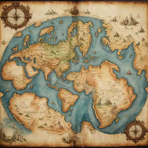
18th century map several villages, rivers of trees, composition on a sphere, like a black and white engraving, white background


1 of 2


