


In 2012, an 'X' mark is discovered on the old and weathered map drawn by John White of Roanoke Island.


1 of 2
18th century map with several villages, rivers of trees, names of cities, composition on a sphere, like a black and white engraving, white background


1 of 2


In 2012, hidden markings are discovered on the old and weathered map drawn by John White of Roanoke Island.


1 of 2
In 2012, hidden markings are discovered on the old and weathered map drawn by John White of Roanoke Island.


1 of 2
John White meeting with explorers in his office in 1588, looking at a map of Roanoke Island.


1 of 2


18th century map several villages, rivers of trees, composition on a sphere, like a black and white engraving, white background


1 of 2


A map of Roanoke Island hand-drawn over 500 years ago, aged and worn. Illustrate explorers examining the weathered map.


1 of 2
A map of Roanoke Island, hand-drawn over 500 years ago, aged and worn. Capture explorers studying this ancient map.


1 of 2


In 2012, hidden markings are discovered on John White's map of Roanoke Island.


1 of 2
a ancient map drawn on brown parchment, half the map is slums and half is royal castle,points of interest on map,pink sand, black smoke


1 of 2
City map of the 18th century, with houses, trees, streams, composition, on a sphere like a planet, black and white, white background, engraving


1 of 2
Annotated map of England with all the real names of towns and countys, in the style of a student textbook


1 of 2
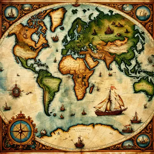
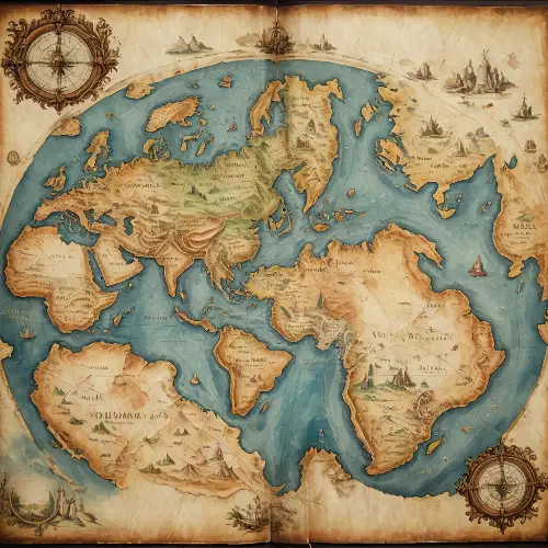
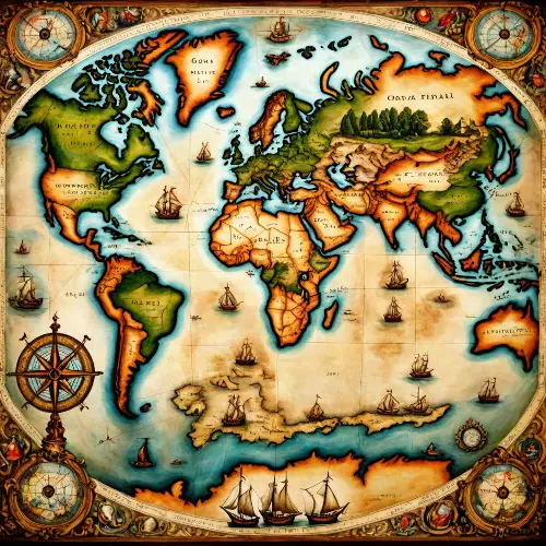
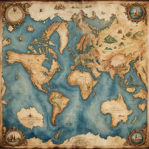
old oil painting of a creative old map world,detailed,masterpiece
1 of 2
old oil painting of a creative old map world,detailed,masterpiece
1 of 2
A classical-style map featuring islands with yellow-green plains, light green mountain ranges, dark green mountain ranges, purple mountain ranges, deep blue mountain ranges, red volcanoes, brown volcanoes, snowy areas, sandy regions, rocky terrain, maple forests, and four black zones.


1 of 2
A classical-style map featuring islands with yellow-green plains, light green mountain ranges, dark green mountain ranges, purple mountain ranges, deep blue mountain ranges, red volcanoes, brown volcanoes, snowy areas, sandy regions, rocky terrain, maple forests, and four black zones.


1 of 2
A classical-style map featuring islands with yellow-green plains, light green mountain ranges, dark green mountain ranges, purple mountain ranges, deep blue mountain ranges, red volcanoes, brown volcanoes, snowy areas, sandy regions, rocky terrain, maple forests, and four black zones.


1 of 2
A classical-style map featuring islands with yellow-green plains, light green mountain ranges, dark green mountain ranges, purple mountain ranges, deep blue mountain ranges, red volcanoes, brown volcanoes, snowy areas, sandy regions, rocky terrain, maple forests, and four black zones.


1 of 2
A classical-style map featuring islands with yellow-green plains, light green mountain ranges, dark green mountain ranges, purple mountain ranges, deep blue mountain ranges, red volcanoes, brown volcanoes, snowy areas, sandy regions, rocky terrain, maple forests, and four black zones.


1 of 2
Map of France, entire France, 18th century with rivers, trees, cities, like a black and white engraving, white background


1 of 2
annotated mixed-media etching on traditionally worn, pale parchment by Jacques Bellange, Ismail Inceoglu, and Dave McKean of a fantastical landscape where the transition between the drawing in an open, ancient book and the real world is seamless. The book lies on a flat surface, its pages aged and edges worn. The right side of the open book contains a detailed ink drawing of a mountain range, with annotations and grid lines, reminiscent of an explorer's old map. As the drawing spills out from the pages, it transforms into a three-dimensional landscape of towering, jagged mountains with sharp peaks and ridges. The color palette is a mix of soft sepia tones for the pages, transitioning to cool grays and blues for the mountains, suggesting a cold, icy environment. Include intricate details such as tiny trees, a winding river in the valley, and melting snow dripping off the edges of the book. The atmosphere is one of discovery and magic, as if one could step directly into the adventure laid out on the pages. Shadows and highlights should give depth to the mountains and the impression that they are emerging from the flatness of the drawings.


1 of 2
Map of France, 18th century , black and white, water is blue, engraving


1 of 2
Top view an old map of the world on aging paper placed on a luxourious mohagany table. An intricate mechanical compass placed on top corner of the map. Hyperrealistic, warm lighting, map caligraphy, 8k


1 of 2
Map of France, entire France, 18th century with rivers, trees, like a black and white engraving, white background


1 of 2

