


In 2012, an 'X' mark is discovered on the old and weathered map drawn by John White of Roanoke Island.


1 of 2
In 2012, hidden markings are discovered on the old and weathered map drawn by John White of Roanoke Island.


1 of 2
In 2012, hidden markings are discovered on the old and weathered map drawn by John White of Roanoke Island.


1 of 2
John White meeting with explorers in his office in 1588, looking at a map of Roanoke Island.


1 of 2


A map of Roanoke Island hand-drawn over 500 years ago, aged and worn. Illustrate explorers examining the weathered map.


1 of 2
In 2012, hidden markings are discovered on John White's map of Roanoke Island.


1 of 2
A map of Roanoke Island, hand-drawn over 500 years ago, aged and worn. Capture explorers studying this ancient map.


1 of 2
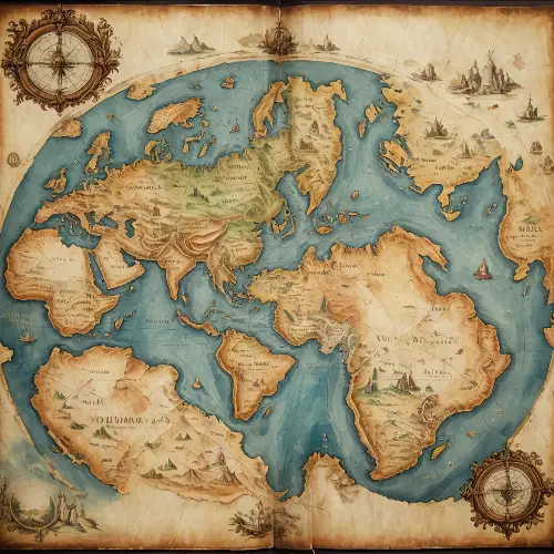
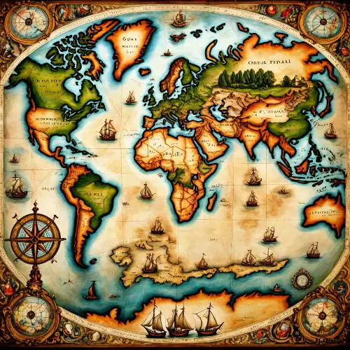
old oil painting of a creative old map world,detailed,masterpiece

1 of 2
old oil painting of a creative old map world,detailed,masterpiece
1 of 2


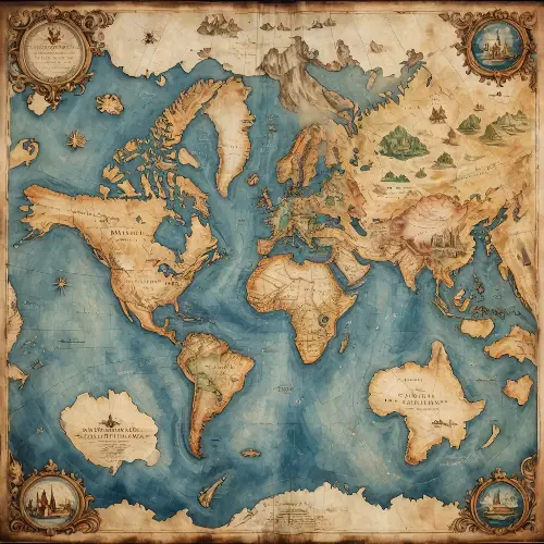
Top view an old map of the world on aging paper placed on a luxourious mohagany table. An intricate mechanical compass placed on top corner of the map. Hyperrealistic, warm lighting, map caligraphy, 8k


1 of 2
a ancient map drawn on brown parchment, half the map is slums and half is royal castle,points of interest on map,pink sand, black smoke


1 of 2


In 2012, a map of Roanoke Island was discovered, with an X mark indicated on an aged and exceptionally worn map. Old old.


1 of 2
In 2012, a map of Roanoke Island was discovered, with an X mark indicated on an aged and exceptionally worn map. Old old.


1 of 2
18th century map with several villages, rivers of trees, names of cities, composition on a sphere, like a black and white engraving, white background


1 of 2
John White observing the inscription \"Croatoan\" carved on a tree on the deserted Roanoke Island in 1590. Dark atmosphere, mystery, fog, and night.


1 of 2
John White observing the inscription \"Croatoan\" carved on a tree on the deserted Roanoke Island in 1590. Dark atmosphere, mystery, fog, and night.


1 of 2
John White observing the inscription \"Croatoan\" carved on a tree on the deserted Roanoke Island in 1590. Dark atmosphere, mystery, fog, and night.


1 of 2
John White observing the inscription \"Croatoan\" carved on a tree on the deserted Roanoke Island in 1590. Dark atmosphere, mystery, fog, and night.


1 of 2
John White observing the inscription \"Croatoan\" carved on a tree on the deserted Roanoke Island in 1590. Dark atmosphere, mystery, fog, and night.


1 of 2
John White observing the inscription \"Croatoan\" carved on a tree on the deserted Roanoke Island in 1590. Dark atmosphere, mystery, fog, and night.


1 of 2
John White observing the inscription \"Croatoan\" carved on a tree on the deserted Roanoke Island in 1590. Dark atmosphere, mystery, fog, and night.


1 of 2
John White observing the inscription \"Croatoan\" carved on a tree on the deserted Roanoke Island in 1590. Dark atmosphere, mystery, fog, and night.


1 of 2


In 2012, a map of Roanoke Island was discovered, with an X mark indicated on an aged and weathered map. Depict explorers studying the map.


1 of 2