Map of Lyon, 18th century , black and white without boats, water is blue, engraving


1 of 2
More Like This
Map of France, 18th century , black and white, water is blue, engraving


1 of 2
City map of the 18th century, untouched by rivers, several villages, with trees, rivers, mountains, black and white, white background, engraving, no boats, the water is blue.


1 of 2
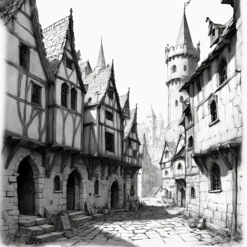
City map of the 18th century, several villages, with trees, rivers, mountains, black and white, white background, engraving, no boats, the water is blue.


1 of 2
Map of the city of the 18th century several villages with trees of mountain rivers ,black and white without boats, water is blue, engraving


1 of 2
Map of France, entire France, 18th century with rivers, trees, cities, like a black and white engraving, white background


1 of 2
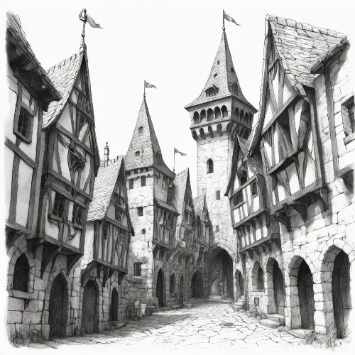
18th century city map several villages with river trees, black and white without boats, water is blue, engraving


1 of 2
Map of France, entire 18th century France with rivers, trees, names of cities, like a black and white engraving, white background


1 of 2
Map of France, entire France, 18th century with rivers, trees, like a black and white engraving, white background


1 of 2
18th century city map several villages with river trees, black and white without boats, water is blue, engraving


1 of 2
City map of the 18th century, several villages, with trees, rivers, mountains, composition, on a sphere like a planet, black and white, white background, engraving, no boats, the water is blue


1 of 2
Map of France, entire 18th century France in a sphere, with rivers, trees, like a black and white engraving, white background


1 of 2
18th century map with several villages, rivers of trees, names of cities, composition on a sphere, like a black and white engraving, white background


1 of 2
City plan of the 18th century, with, trees, stream, composition, on a sphere like a planet, black and white, white background, engraving, no boats, the water is blue


1 of 2


City map of the 18th century, with houses, trees, streams, composition, on a sphere like a planet, black and white, white background, engraving


1 of 2
18th century map several villages, rivers of trees, composition on a sphere, like a black and white engraving, white background


1 of 2
sextant, ancient earth measuring tool, earth measuring instrument, on map of 18th century France, with rivers and roads, black and white, engraving, water is blue, background is white


1 of 2
Cassini France map, 18th century, measuring instrument, cities, streams, rivers


1 of 2
Cassini France map, 18th century, measuring instrument, cities, streams, rivers


1 of 2
Carte du 18ème siècle avec des rivières, des arbres, le nom des villes, composition sur une sphère, comme une gravure noir et blanc, fond blanc


1 of 2
Carte du 18ème siècle avec des rivières, des arbres, le nom des villes, composition sur une sphère, comme une gravure noir et blanc, fond blanc


1 of 2


map_of_the_18th_century_several_villages_with_trees_rivers_mountains_composition_on_a_sphere_like_a_planet_black_and_white_white_background_engraving


1 of 2


sextant, ancient earth measuring tool, quarter-circle earth measuring instrument, on map of France, with rivers and roads, white background


1 of 2


18th century city plan, with buildings, houses, trees, stream, composition, on a sphere like a planet


1 of 2
18th century city plan, with buildings, houses, trees, stream, composition, on a sphere like a planet


1 of 2